Publisher description
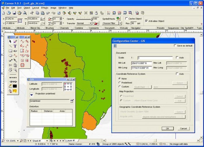
The CANVAS 9 GIS Mapping Edition adds native support for Geographic Information System (GIS) data to Canvas. You can take measurements in geographic coordinates, import industry standard SHAPE and GeoTIFF files into unlimited numbers of automatically aligned overlapping layers and choose among the following options: 2,104 Coordinate Reference Systems 67 Operation Methods (like Mercator, Albers Conic Equal Area?) 1,052 Map Projections 302 Geodetic Datums 21 Angular units 45 Length units The CANVAS 9 GIS Mapping Edition bridges the gap between dedicated GIS analysis software and generic "DTP" software. For many applications CANVAS 9 GIS Mapping Edition can now replace programs costing thousands. For the rest, CANVAS 9 GIS Mapping Edition is now the preferred "last mile" publishing companion to dedicated GIS analysis software.
Related Programs

Canvas Illustration Software X
Drawing, image editing & graphics all in one.

Visual Watermark Software - Photo Watermarking Software 2.5
Batch Photo Watermarking Software

Bookmaker Software by BOOKIE Software 3.01
Affordable EPOS for betting shops

Sportsbook Software by BOOKIE Software 3.01
An unrivaled all-in-one sportsbook software

Software License software 5.01.26
.NET Licenser

